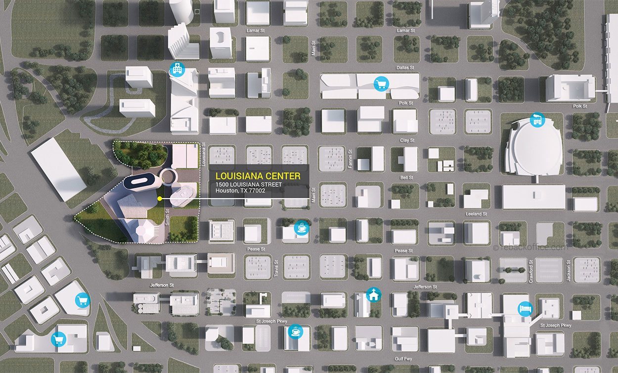
MAP
2D FLoor & Site Plans
Contoured has a team of graphic specialists who can turn around any kind of floor plan recreated from sketches to 100 year old scanned blueprints.
We can deliver in a number of graphic formats including PDF, JPG, TIF, PSD, EPS, DWG, PNG and many others. Typical turn around time is 3 business days but we turn many around overnight if needed.
We can add details, labeling, update older plans, add color, texture, graphic elements and match color. Want it interactive? Ask us about our interactive formats for your website or other digital offering.


